When Life Gives You GPS Tracks, Make Movies
Corny title aside, this post will demo my new project, Streetwarp. Here's a look at what it does:
You give me a GPS track (either uploaded directly or via a Strava/RideWithGPS link), and then I pull down images from Google Streetview along the route. I process the pictures with a Hyperlapse algorithm and hand back the video to you. Now you can watch it to relive [or "prelive"] the experience.
- Note that using the program requires a Google Maps API key. Instructions are included on the form.
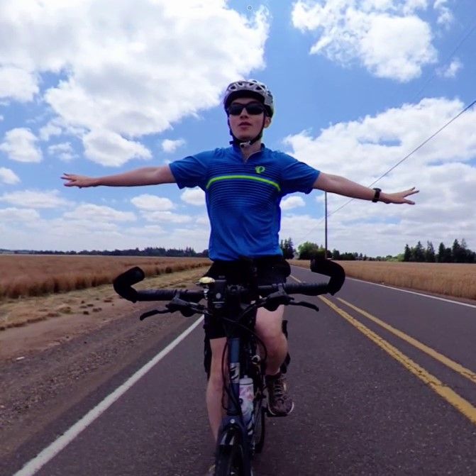
Personally, I've been using this approach to plan biking routes: it helps me explore roads and optimize for wide shoulders and plenty of shade. I also enjoy plugging in routes I've already traveled on because seeing the sights again soothes the nostalgia-center of my brain.
Streetwarp Web | Create Hyperlapse videos from Street View along any route
Hyperlapse routes with Google Street View. Turn any Google Maps link or GPX route into animated hyperlapse movies for free. With Strava and Google Maps integration.
View Comments